Overview
For centuries, the idea of a remote continent in the Southern Hemisphere – “Antarktikos” or “Terra Australis Incognita” – sparked the imagination of cartographers. Determined to be the first to map the continent, in 1772 Captain James Cook explored the Southern Ocean, crossing the Antarctic Circle, but failed to reach the landmass. During early exploration in the late 19th century, the first maps were produced by expeditions that charted lengths of the Antarctic coast by ship.
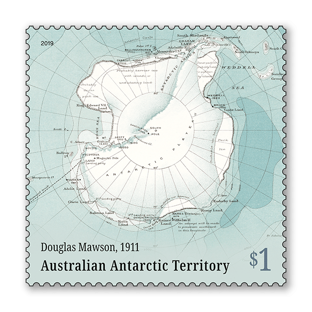
In 1911, Australia’s Douglas Mawson embarked on the Australasian Antarctic Expedition to conduct scientific research, including cartography. Land exploration was undertaken using dog teams and hauling sledges to survey and map more than 6,437 kilometres of what would become the Australian Antarctic Territory.
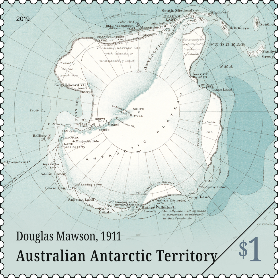
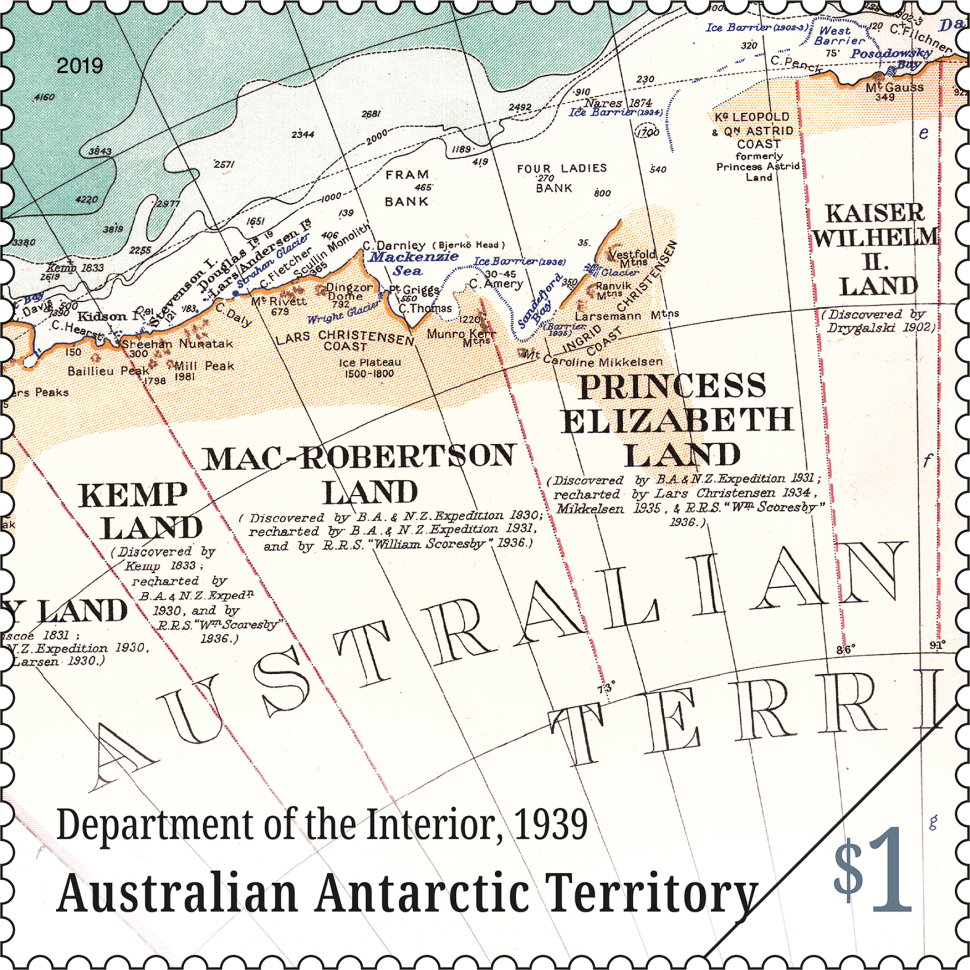
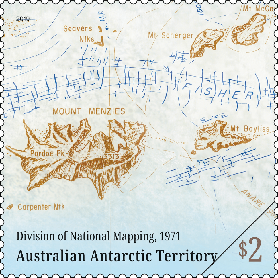
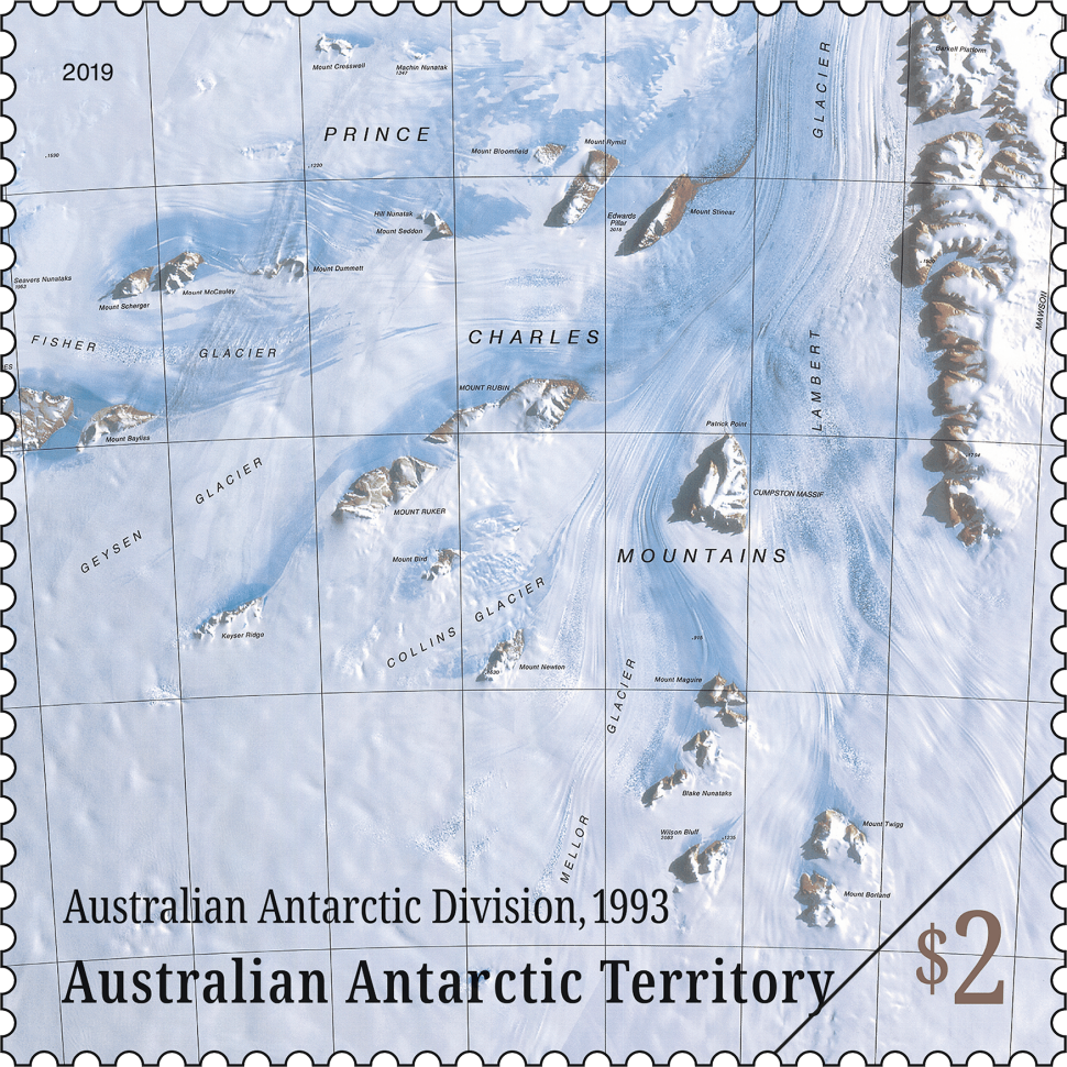
This stamp issue celebrates more than 100 years of Australian mapping of the Antarctic continent, from Mawson’s early surveys to the computer-assisted maps of the 1990s.
Technical specifications
- Issue date
- 20-August-2019
- Issue withdrawal date
- 29-February-2020
- Denomination
- 2 x $1, 2 x $2
- Stamp design
- Lisa Christensen, Three Branches Design
- Product design
- Lisa Christensen, Three Branches Design
- Paper: gummed
- Tullis Russell
- Printer
- EGO
- Printing process
- Offset lithography
- Stamp size (mm)
- 35 x 35
- Minisheet size (mm)
- 170 x 80
- Perforations
- 14.286 x 14.286
- Sheet layout
- Module of 50
- FDI Postmark
- Kingston, Tas 7050
- FDI withdrawal date
- 18-September-2019
From the 1950s to 1970s, the Australian Antarctic Division oversaw the surveying of
remote regions of the AAT. Maps were manually composed from ground-level calculations in the field and aerial photography. In the 1970s, satellite imagery allowed for more detailed maps.
Shop our stamp collectables
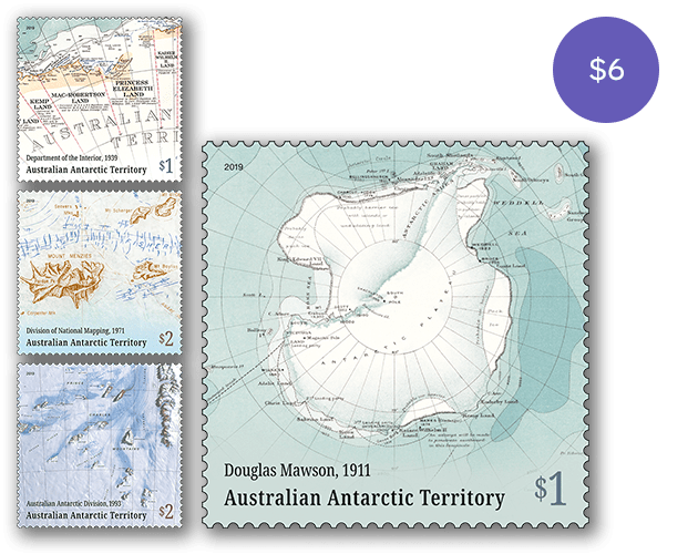
Set of stamps:
This set of stamps contains all four stamps from the Mapping the AAT stamp issue.
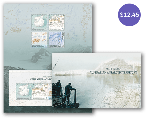
Stamp pack:
The Mapping the AAT stamp pack contains all four stamps and minisheet from the stamp issue presented in high quality folder.
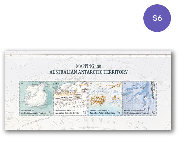
Minisheet:
The Mapping the AAT minisheet consists of the four stamps from the issue incorporated into a miniature stamp sheet.
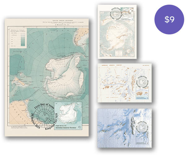
Maxicard set:
This maxicard set contains the four maxicards from the Mapping the AAT stamp issue.
- Set of stamps
- Stamp pack
- Minisheet
- Maxicard set
Additional products:
- Pictorial envelope for the Mapping the AAT stamp issue
- Gutter strip 10 x $1 Douglas Mawson, 1911 stamps
- Gutter strip 10 x $1 Department of the Interior, 1939 stamps
- Gutter strip 10 x $2 Division of National Mapping, 1971 stamps
- Gutter strip 10 x $2 Australian Antarctic Division, 1993 stamps
- First day Mapping the AAT gummed stamps cover
- First day Mapping the AAT minisheet cover
This content was produced at the time of the stamp issue release date and will not be updated.

