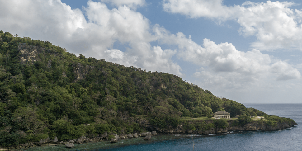
Christmas Island is a place of much natural beauty and scientific interest. Located in the Indian Ocean some 2,600 kilometres north-west of Perth, this peak of a submarine mountain range rises to a central plateau at about 360 metres above sea level. It is fringed by an almost continuous rocky cliff that rises to an average of 10–20 metres, broken only in about a dozen places by shallow bays and small beaches. The island is essentially a series of terraces around a central plateau, with the lower terraces having the highest and steepest cliffs. The Christmas Island National Park comprises about 64 per cent of this island, around 85 square kilometres of the 135 square kilometre island.
Since the first exploration of Christmas Island, in 1887, there has been continuous interest in its unique natural history. John Murray (one of the partners in the original Christmas Island Phosphate Company) commissioned CW Andrews to study the natural history of the island prior to the start of mining, and this study has served as a baseline for later natural history investigations.
The prevailing view until the late 1960s was that mining would not cause excessive damage to the natural environment because only limited areas of the island would be mined. But when the Phosphate Hill and South Point phosphate deposits were worked out, mining commenced in the western sector of the island.
In 1973, the Island Administrator formed an advisory committee to report and advise on general environmental topics, and in 1974 the British Phosphate Commissioners appointed a conservation officer. This led to a governmental examination of the effect of mining and other activities on the flora and fauna of Christmas Island, and the recommendation that an area be reserved for conservation. In February 1980, the Christmas Island National Park was declared, covering the south-west side of the island. This was extended in 1983 and 1989. It is managed by Parks Australia, which is a division of the federal governments Environment portfolio.
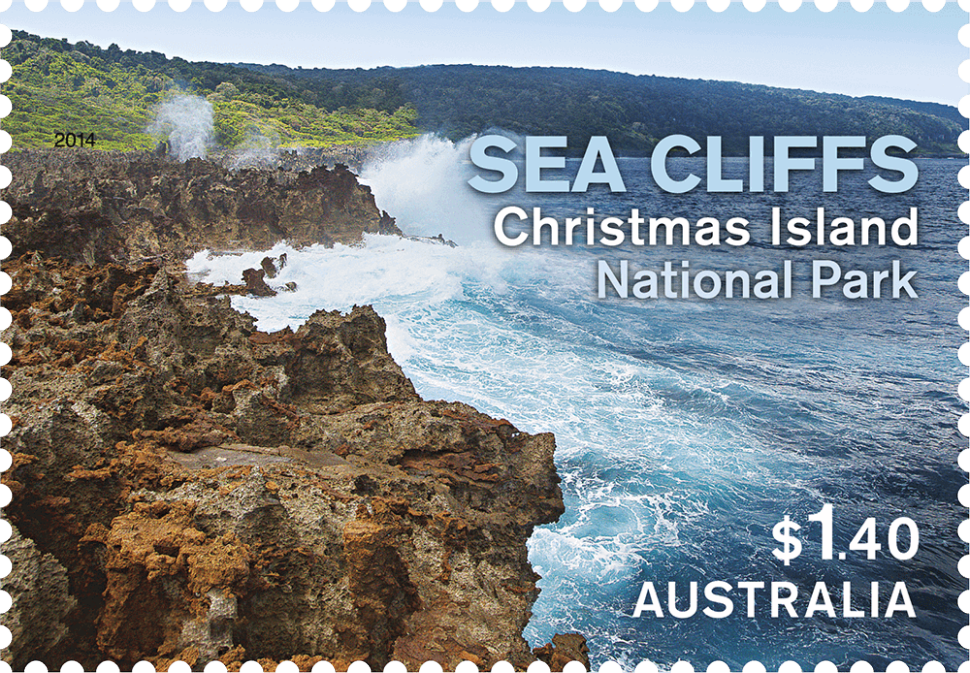
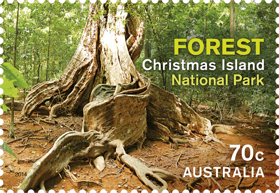
The island’s isolation and varied habitats have allowed a great number of flora and fauna species to develop, many of which are endemic. The 12 recognised habitats are: marine, shoreline, beach, sea cliffs, terrace forest, shallow-soil rainforest, limestone scree slopes, deeper plateau and terrace soil evergreen rainforest, mangrove forest, wetlands, karst (caves, overhangs, rock crevices, sinkholes), mining fields.
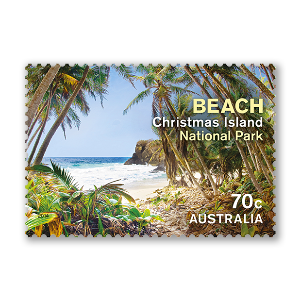
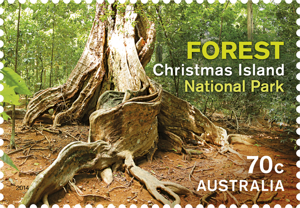
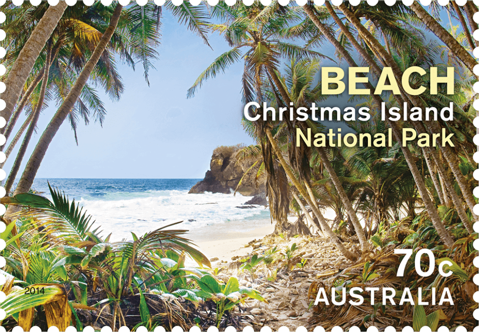
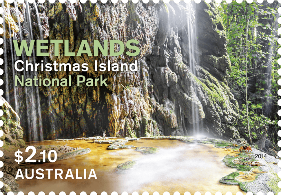
The stamps depict four habitats of Christmas Island National Park, providing a sense of the environmental diversity that supports a wide range of native flora and fauna.
Designer
Sharon Rodziewicz, Australia Post Design Studio
Products released in this issue
- Stamps 2 x 70c, 1 x $1.40, 1 x $2.10
- Covers (blank pictorial and gummed)
- Gutter strips
Technical specifications
- Issue date
- 17 June 2014
- Issue withdrawal date
- 31 December 2014
- Denominations
- 2 x 70c, 1 x $1.40, 1 x $2.10
- Stamp design
- Sharon Rodziewicz, Australia Post Design Studio
- Product design
- Sharon Roderziewicz, Australia Post Design
- Paper - gummed
- Tullis Russell
- Printer - gummed
- RA Print
- Printing process
- Lithography
- Stamp size
- 37.5mm x 26mm
- Perforations
- 14.6 x 13.86
- Sheet layout
- Module of 50
- FDI postmark
- Christmas Island, WA 6798
- FDI withdrawal date
- 16 July 2014
The varied habitats of Christmas Island include two Ramsar wetlands of international significance: the Dales and Hosnies Spring. The site featured in the stamp is the Dales, a series of seven watercourses. It supports many faunal species including the Blue Crab and Brown Gudgeon, the island’s only native freshwater fish.
This content was produced at the time of the stamp issue release date and will not be updated.
